David Rumsey
ArcGIS, QGIS or web apps can simply use this map with web map services. WMTS, TileJSON or XYZ tiles are provided for quick access to processed maps.
Sign in to get links.
Sign in to download GeoTIFF.
Overlay & compare
iiif viewer, iiif info json
Website
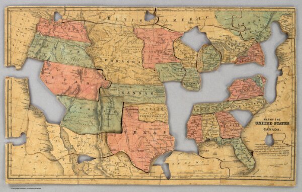
Map of the United States and Canada.
5515.001
pilot4
Map of the United States and Canada. Entered ... 1853 by Daniel Burgess & Co. ... New York.
1853
Merriam, Moore & Co.
46 × 28 cm
1 : 11404800