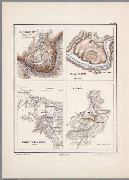
Planche XXVIII. Carnifex Ferry (Virginie Occidentale). Mill Spring, and Logan Cross Roads (Kentucky). Pea Ridge (Arkansas).
ArcGIS, QGIS or web apps can simply
use this map with web map services.
WMTS, TileJSON or XYZ tiles
are provided for quick access to processed maps.
Sign in to get links.