David Rumsey
ArcGIS, QGIS or web apps can simply use this map with web map services. WMTS, TileJSON or XYZ tiles are provided for quick access to processed maps.
Sign in to get links.
Sign in to download GeoTIFF.
Overlay & compare
iiif viewer, iiif info json
Website
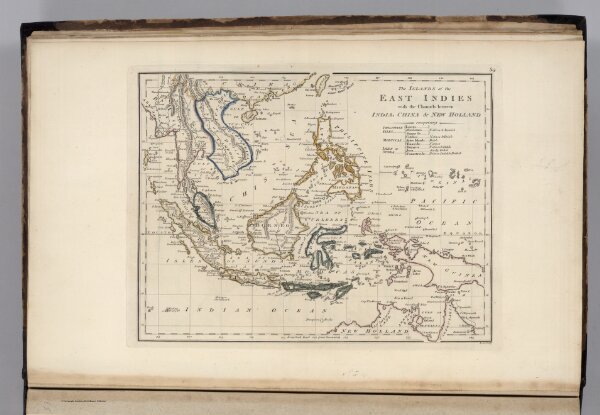
Islands of the East Indies.
2721.059
pilot4
The Islands of the East Indies with the Channels between India, China & New Holland comprising Philippine Isles ... Moluccas ... Isles of Sunda. Scoles sculp.
1818
Carey, Mathew
M. Carey and Son
28 × 23 cm
1 : 23000000