David Rumsey
ArcGIS, QGIS or web apps can simply use this map with web map services. WMTS, TileJSON or XYZ tiles are provided for quick access to processed maps.
Sign in to get links.
Sign in to download GeoTIFF.
Overlay & compare
iiif viewer, iiif info json
Website
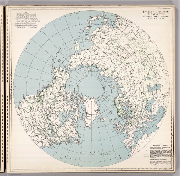
River Ice in Relation to Navigation, Average Annual Number of Days with Ice.
1103.017
pilot4
1946
U.S. Navy
Hydrographic Office, U.S. Navy
62 × 62 cm