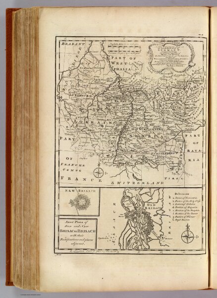
A new & accurate map of the South West part of Germany. Comprehending the Archbishopricks of Mentz and Treves; the Electoral Palat: of the Rhine; Duchy of Wirtemberg; Franconia, Swabia, Alsace, Lorrain &c. Drawn from the best authorities and most approved maps and regulated by astronl. observations. By Emanl. Bowen. (London: Printed for William Innys, Richard Ware, Aaron Ward, J. and P. Knapton, John Clarke, T. Longman and T. Shewell, Thomas Osborne, Henry Whitridge ... M.DCC.XLVII)