David Rumsey
ArcGIS, QGIS or web apps can simply use this map with web map services. WMTS, TileJSON or XYZ tiles are provided for quick access to processed maps.
Sign in to get links.
Sign in to download GeoTIFF.
Overlay & compare
iiif viewer, iiif info json
Website
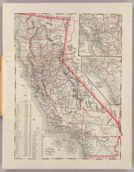
Map of California.
5642.001
pilot4
Map of California, prepared for the State Board of Trade, 1892 ... By the Elliot (sic) Pub. Co., S.F. (with) Map of section surrounding San Francisco. (with) Map showing Orange Co., and part of Los Angeles, San Bernardino and San Diego counties.
1892
California State Board of Trade
51 × 55 cm
1 : 2100000