David Rumsey
ArcGIS, QGIS or web apps can simply use this map with web map services. WMTS, TileJSON or XYZ tiles are provided for quick access to processed maps.
Sign in to get links.
Sign in to download GeoTIFF.
Overlay & compare
iiif viewer, iiif info json
Website
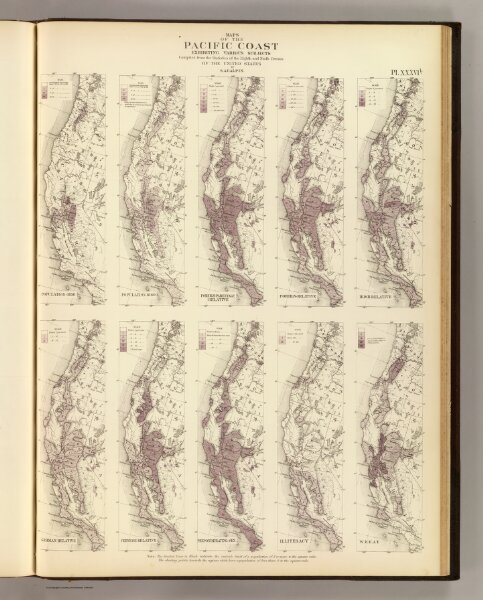
Pacific Coast subjects.
3566.036
pilot4
Maps of the Pacific Coast exhibiting various subjects. Compiled from the statistics of the eight and ninth census of the United States by S.A. Galpin. (Julius Bien, Lith., 1874)
1874
United States. Census Office
U.S.
39 × 53 cm
1 : 7800000