David Rumsey
ArcGIS, QGIS or web apps can simply use this map with web map services. WMTS, TileJSON or XYZ tiles are provided for quick access to processed maps.
Sign in to get links.
Sign in to download GeoTIFF.
Overlay & compare
iiif viewer, iiif info json
Website
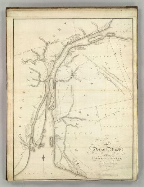
Map of Detroit River and Adjacent Country.
2803.006
pilot3
Map of Detroit River and Adjacent Country. Fro the Original Drawing by a British Engineer. H.S. Tanner. Entered as the Act Directs. (1824)
1824
Melish, John
No publisher.
44 × 59 cm
1 : 63360