David Rumsey
ArcGIS, QGIS or web apps can simply use this map with web map services. WMTS, TileJSON or XYZ tiles are provided for quick access to processed maps.
Sign in to get links.
Sign in to download GeoTIFF.
Overlay & compare
iiif viewer, iiif info json
Website
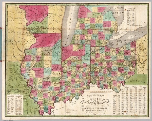
Ohio Indiana & Illinois And Michigan Territory
5145.002
pilot2
The States Of Ohio Indiana & Illinois And Michigan Territory From the Latest Authorities. Published by Ezra Strong New York 1834.
1834
Strong, Ezra
Ezra Strong.
52 × 41 cm
1 : 2154240