David Rumsey
ArcGIS, QGIS or web apps can simply use this map with web map services. WMTS, TileJSON or XYZ tiles are provided for quick access to processed maps.
Sign in to get links.
Sign in to download GeoTIFF.
Overlay & compare
iiif viewer, iiif info json
Website
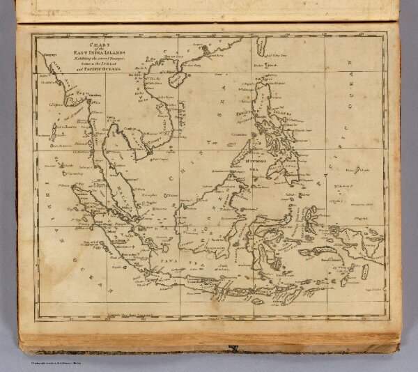
East India Islands.
0028.025
pilot4
Chart of the East India Islands. Exhibiting the several passages, between the Indian and Pacific oceans. From Arrowsmith's map. (Boston: Published by Thomas & Andrews. 1812)
1812
Arrowsmith, Aaron
Thomas & Andrews
25 × 21 cm
1 : 21500000