David Rumsey
ArcGIS, QGIS or web apps can simply use this map with web map services. WMTS, TileJSON or XYZ tiles are provided for quick access to processed maps.
Sign in to get links.
Sign in to download GeoTIFF.
Overlay & compare
iiif viewer, iiif info json
Website
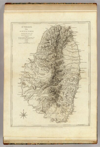
St. Vincent.
4723.035
pilot3
St. Vincent; from an actual survey made in the year 1773 after the Treaty with the Caribs (by Thomas Jefferys). London, printed for Robt. Sayer, Map and Printseller, no. 53 in Fleet Street, as the Act directs, 20th Feby. 1775.
1775
1788
Jefferys, Thomas
Sayer and Bennett
47 × 62 cm
1 : 50000