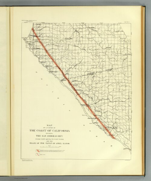
Map of a portion of the coast of California showing the San Andreas Rift from Point Arena to Fort Ross and the trace of the fault of April 18, 1906. Earthquake Investigation Commission. Julius Bien & Co., N.Y. (Carnegie Institution of Washington. 1908)
Depicted date
1908
Publication date
1908
Creator
California. State Earthquake Investigation Commission