David Rumsey
ArcGIS, QGIS or web apps can simply use this map with web map services. WMTS, TileJSON or XYZ tiles are provided for quick access to processed maps.
Sign in to get links.
Sign in to download GeoTIFF.
Overlay & compare
iiif viewer, iiif info json
Website
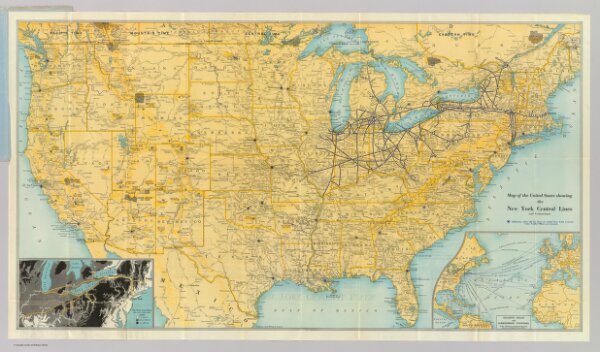
U.S. showing NY Central Lines.
3257.001
pilot4
Map of the United States showing the New York Central Lines and connections ... Copyright, Rand McNally & Company. (inset map) Atlantic Ocean and surrounding countries. (inset map) The water level route, New York Central Lines. (1929)
1929
Rand McNally and Company
Rand McNally
78 × 43 cm
1 : 3295000