David Rumsey
ArcGIS, QGIS or web apps can simply use this map with web map services. WMTS, TileJSON or XYZ tiles are provided for quick access to processed maps.
Sign in to get links.
Sign in to download GeoTIFF.
Overlay & compare
iiif viewer, iiif info json
Website
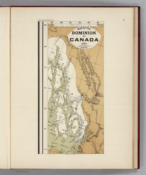
Facsimile: Canada (portion).
0009.085
pilot4
(Facsimile) Map of the Dominion of Canada (portion) 1882. Department of Railways & Canals. Collingwood Schreiber, Engineer in Chief, Gov't. Railroads. Alaskan Boundary Tribunal, 1903. 42. Andrew B. Graham. Photo-Litho. Washington.D.C.
1882
1904
Canadian Department of Railways & Canals
Government Printing Office
27 × 41 cm
1 : 1960000