David Rumsey
ArcGIS, QGIS or web apps can simply use this map with web map services. WMTS, TileJSON or XYZ tiles are provided for quick access to processed maps.
Sign in to get links.
Sign in to download GeoTIFF.
Overlay & compare
iiif viewer, iiif info json
Website
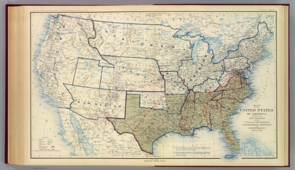
USA June 1864.
1780.172
pilot4
Map of the United States of America showing the boundaries of the Union and Confederate geographical divisions and departments, June 30, 1864. Julius Bien & Co., Lith., N.Y. (1891-1895)
1895
Julius Bien & Co.
U.S. Government Printing Office
71 × 44 cm
1 : 6900000