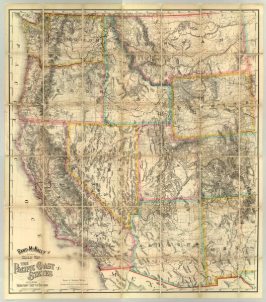
Rand - McNally Official Railway Map Of The Pacific Coast States Including Territory East To Denver
ArcGIS, QGIS or web apps can simply
use this map with web map services.
WMTS, TileJSON or XYZ tiles
are provided for quick access to processed maps.
Sign in to get links.