David Rumsey
ArcGIS, QGIS or web apps can simply use this map with web map services. WMTS, TileJSON or XYZ tiles are provided for quick access to processed maps.
Sign in to get links.
Sign in to download GeoTIFF.
Overlay & compare
iiif viewer, iiif info json
Website
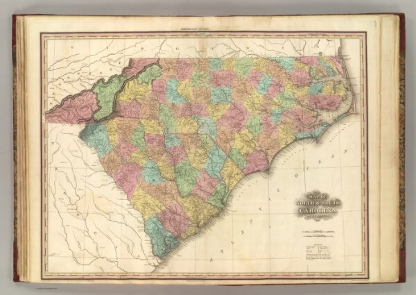
North & South Carolina.
4862.020
pilot4
Map of North & South Carolina. By H.S. Tanner. 1827. American Atlas. Published by H.S. Tanner, Philadelphia. Entered according to Act of Congress, 20th Day of August, 1823, by H.S. Tanner, of the State of Pennsylvania.
1827
1833
Tanner, Henry S.
Henry Tanner
72 × 56 cm
1 : 1100000