David Rumsey
ArcGIS, QGIS or web apps can simply use this map with web map services. WMTS, TileJSON or XYZ tiles are provided for quick access to processed maps.
Sign in to get links.
Sign in to download GeoTIFF.
Overlay & compare
iiif viewer, iiif info json
Website
SE Virginia, Ft. Monroe.
1780.016
pilot4
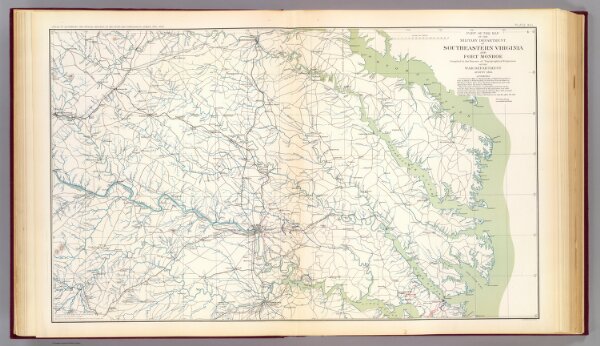
Part of the map of the Military Department of Southeastern Virginia and Fort Monroe. Compiled in the Bureau of Topographical Engineers of the War Department, August 1861. Julius Bien & Co., Lith., N.Y. (1891-1895)
1895
U.S. War Department, Topographical Engineers
U.S. Government Printing Office
70 × 43 cm
1 : 316800