David Rumsey
ArcGIS, QGIS or web apps can simply use this map with web map services. WMTS, TileJSON or XYZ tiles are provided for quick access to processed maps.
Sign in to get links.
Sign in to download GeoTIFF.
Overlay & compare
iiif viewer, iiif info json
Website
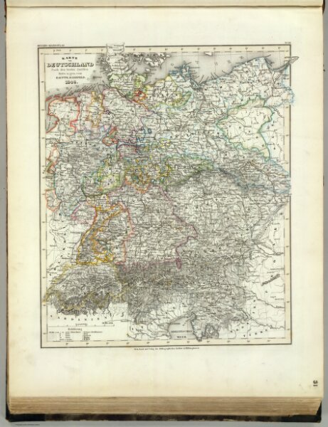
Deutschland.
4807.030
pilot4
Karte von Deutschland. Nach den besten Quellen. Entw. u. gez. vom Hauptm. Radefeld, 1848. Stich, Druck und Verlag des Bibliographischen Instituts in Hildburghausen, (1860)
1848
1860
Radefeld, Carl Christian Franz, 1788-1874
Bibliographischen Instituts
31 × 37 cm
1 : 3400000