David Rumsey
ArcGIS, QGIS or web apps can simply use this map with web map services. WMTS, TileJSON or XYZ tiles are provided for quick access to processed maps.
Sign in to get links.
Sign in to download GeoTIFF.
Overlay & compare
iiif viewer, iiif info json
Website
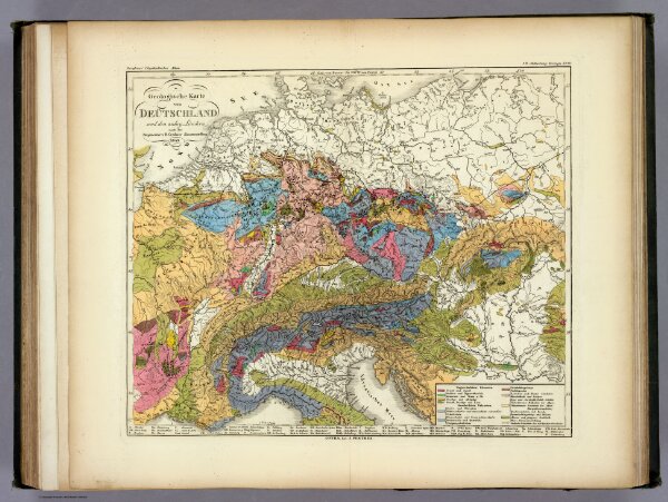
Geologische Karte von Deutschland und den anlieg.
2515.039
pilot4
Geologische Karte von Deutschland und den anlieg. Landern nach des Bergmeister's H. Credner Zusamenstellung. 1843. 3te Abtheilung: Geologie, No. 12. Gotha, bei J. Perthes.
1843
1849
Berghaus, Heinrich
Justus Perthes
35 × 30 cm
1 : 4600000