David Rumsey
ArcGIS, QGIS or web apps can simply use this map with web map services. WMTS, TileJSON or XYZ tiles are provided for quick access to processed maps.
Sign in to get links.
Sign in to download GeoTIFF.
Overlay & compare
iiif viewer, iiif info json
Website
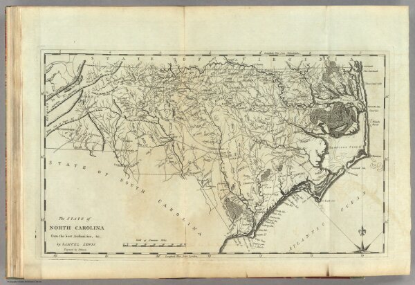
State of North Carolina.
2542.014
pilot4
The State of North Carolina from the best Authorities, &c. by Samuel Lewis. Engraved by Vallance.
1795
Lewis, Samuel
Mathew Carey
47 × 28 cm
1 : 1330560