David Rumsey
ArcGIS, QGIS or web apps can simply use this map with web map services. WMTS, TileJSON or XYZ tiles are provided for quick access to processed maps.
Sign in to get links.
Sign in to download GeoTIFF.
Overlay & compare
iiif viewer, iiif info json
Website
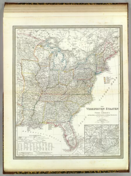
Vereinigten Staaten v. N. America.
2077.062
pilot4
Die Vereinigten Staaten von Nord America mit Ausschluss von Texas und den westlichen Territorien, entworfen und gezeichnet von C.F. Weiland, berichtigt von H. Kiepert. Weimar, im Verlage des Geograph. Instituts, 1849. Gestochen v. Karl Madel.
1849
1856
Weiland, C. F. (Carl Ferdinand), d. 1847
Weimar Geo Inst.
52 × 63 cm
1 : 5140000