David Rumsey
ArcGIS, QGIS or web apps can simply use this map with web map services. WMTS, TileJSON or XYZ tiles are provided for quick access to processed maps.
Sign in to get links.
Sign in to download GeoTIFF.
Overlay & compare
iiif viewer, iiif info json
Website
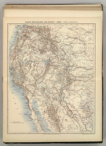
Carte Militaire des Etats - Unis (Partie Occidentale).
5785.037
pilot4
Carte Militaire des Etats - Unis (Partie Occidentale). Atlas St. Cyr. Furne, Jouvet et Cie. Editeurs. Imp. Lemercier et Cie. Paris. (1882)
1882
Jouvet et Cie.
Jouvet et Cie
40 × 52 cm
1 : 5800000