David Rumsey
ArcGIS, QGIS or web apps can simply use this map with web map services. WMTS, TileJSON or XYZ tiles are provided for quick access to processed maps.
Sign in to get links.
Sign in to download GeoTIFF.
Overlay & compare
iiif viewer, iiif info json
Website
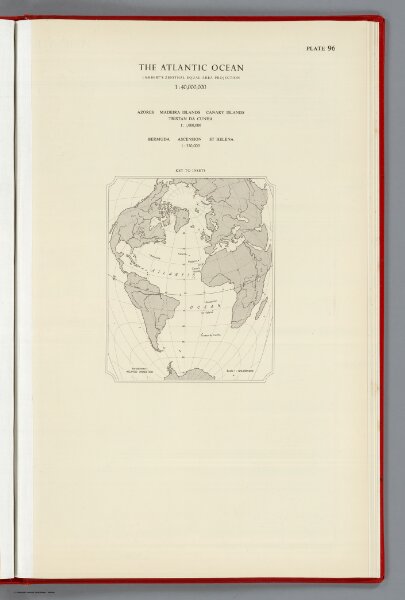
Index: The Atlantic Ocean, Plate 96, V. IV
1552.241
pilot2
(Index to) The Atlantic Ocean. Lambert's Zenithal Equal-Area Projection, 1:40,000,000. Azores, Madiera Islands, Canary Islands, Tristan Da Cunha. 1:1,000,000. Bermuda, Ascension, St Helena. 1:350,000.
1956
1959
Bartholomew, John
John Bartholomew & Son LTD.
32 × 49 cm
1 : 120000000