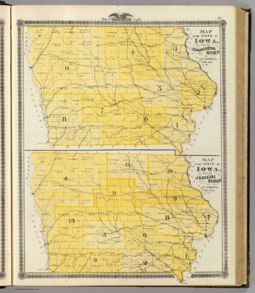
Maps of the State of Iowa showing congressional districts, judicial districts.
Identifier
0018.009
Collection
pilot4
Description
Map of the State of Iowa showing congressional districts ... (with) Map of the State of Iowa showing judicial districts ... (both) by A.T. Andreas, Chicago, Ills. (Published by the Andreas Atlas Co., Lakeside Building, Chicago, Ills. Engraved & printed by Chas. Shober & Co., Props. of Chicago Lithographing Co.)