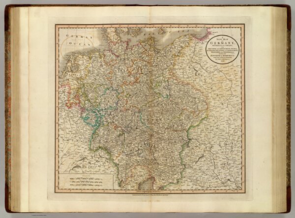
A new map of Germany, divided into its circles; viz. the Upper and Lower Rhine, Swabia, Austria, Bavaria, Upper and Lower Saxony, Franconia and Westphalia. With the Kingdom of Bohemia &c. From the latest authorities. By John Cary, engraver, 1799. London: Published by J. Cary, Engraver & Map-seller, No. 181, Strand, Augst. 1, 1799.