David Rumsey
ArcGIS, QGIS or web apps can simply use this map with web map services. WMTS, TileJSON or XYZ tiles are provided for quick access to processed maps.
Sign in to get links.
Sign in to download GeoTIFF.
Overlay & compare
iiif viewer, iiif info json
Website
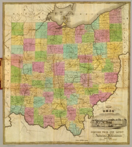
Map of Ohio.
4907.001
pilot4
Map of Ohio compiled from the latest and most authentic information. Hartford, published by Willis Thrall. 1832. Entered ... 12th day of Sept. 1832 by Willis Thrall ... Connecticut.
1832
Thrall, Willis
Willis Thrall
54 × 60 cm
1 : 760320