David Rumsey
ArcGIS, QGIS or web apps can simply use this map with web map services. WMTS, TileJSON or XYZ tiles are provided for quick access to processed maps.
Sign in to get links.
Sign in to download GeoTIFF.
Overlay & compare
iiif viewer, iiif info json
Website
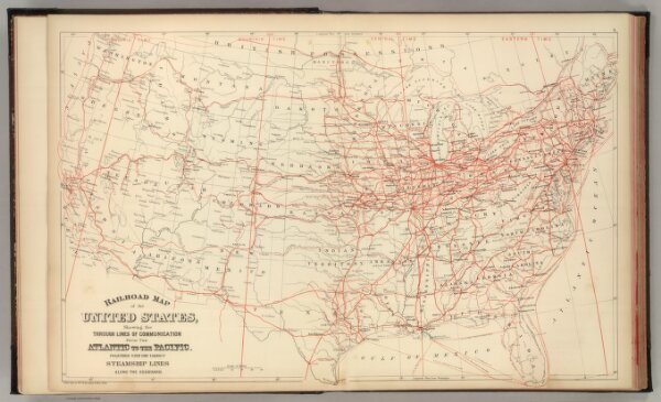
Railroad map U.S.
0592.010
pilot4
Railroad map of the United States, showing the through lines of communication from the Atlantic to the Pacific, together with the various steamship lines along the seaboard. Copyright by Wm. M. Bradley & Bro. 1884.
1884
1886
Mitchell, Samuel Augustus Jr.
Wm. M. Bradley & Bro.
57 × 39 cm
1 : 7850000