David Rumsey
ArcGIS, QGIS or web apps can simply use this map with web map services. WMTS, TileJSON or XYZ tiles are provided for quick access to processed maps.
Sign in to get links.
Sign in to download GeoTIFF.
Overlay & compare
iiif viewer, iiif info json
Website
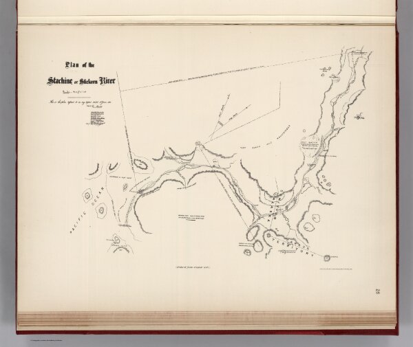
Facsimile: Hunter's Tracing of Stickeen River
0009.027
pilot3
(Facsimile) Plan of the Stachine or Stickeen River. This is the plan referred to in my report dated 30th June, 1877, Signed Jos. Hunter. Photo. Lith. by A. Hoen & Co. Baltimore, MD. (Reduced from original scale).
1877
1904
Hunter, Jos.
(U.S.) Government Printing Office
43 × 32 cm
1 : 48000