David Rumsey
ArcGIS, QGIS or web apps can simply use this map with web map services. WMTS, TileJSON or XYZ tiles are provided for quick access to processed maps.
Sign in to get links.
Sign in to download GeoTIFF.
Overlay & compare
iiif viewer, iiif info json
Website
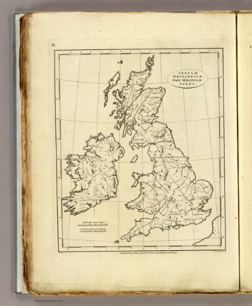
British Isles (outline)
2319.017
pilot4
Insulae Britannicae. The British Isles. E.P. delint. S.I. Neele sculp, 352 Strand. Published June 15th 1804 by the Revd. E. Patteson, M.A., Richmond, Surrey.
1804
Patteson, Edward
Patteson
21 × 27 cm
1 : 4500000