David Rumsey
ArcGIS, QGIS or web apps can simply use this map with web map services. WMTS, TileJSON or XYZ tiles are provided for quick access to processed maps.
Sign in to get links.
Sign in to download GeoTIFF.
Overlay & compare
iiif viewer, iiif info json
Website
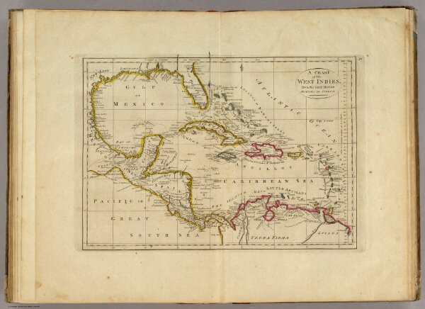
Chart of the West Indies.
4577.030
pilot4
A Chart of the West Indies, From the latest Marine Journals and Surveys.
1814
Carey, Mathew
Mathew Carey
40 × 29 cm
1 : 11750000