David Rumsey
ArcGIS, QGIS or web apps can simply use this map with web map services. WMTS, TileJSON or XYZ tiles are provided for quick access to processed maps.
Sign in to get links.
Sign in to download GeoTIFF.
Overlay & compare
iiif viewer, iiif info json
Website
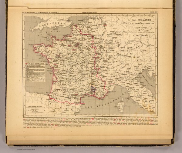
La France 1589 a 1643.
2010.039
pilot4
La France a la mort de Louis XIII, 1589 a 1643. Dressee sous la direction de A. Houze. (In upper margin:) Atlas historique et geographique de la France. Carte XXV. (Paris, Chez P. Dumenil, editeur, rue des Beaux-Arts, 10. 1844)
1844
Houze, Antoine Philippe
Chez P. Dumenil
27 × 23 cm
1 : 6000000