David Rumsey
ArcGIS, QGIS or web apps can simply use this map with web map services. WMTS, TileJSON or XYZ tiles are provided for quick access to processed maps.
Sign in to get links.
Sign in to download GeoTIFF.
Overlay & compare
iiif viewer, iiif info json
Website
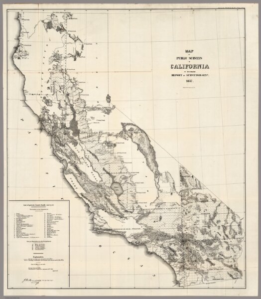
Map of the Public Surveys in California, 1857
1073.004
missinglocation
Map of the Public Surveys in California ; to Accompany Report of Surveyor Genl., 1857. Wagner & McGuigan Lith. Phila. Surveyor Generals' Office, San Francisco, California, September 30th, 1857, Approved J.W. Mandeville, U.S. Surr. Genl. Cala.
1857
U.S. General Land Office
Wagner & McGuigan
78 × 92 cm
1 : 1140480