David Rumsey
ArcGIS, QGIS or web apps can simply use this map with web map services. WMTS, TileJSON or XYZ tiles are provided for quick access to processed maps.
Sign in to get links.
Sign in to download GeoTIFF.
Overlay & compare
iiif viewer, iiif info json
Website
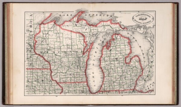
New Rail Road and County Map of Michigan and Wisconsin.
0210.040
pilot
New Rail Road and County Map of Michigan & Wisconsin.
1883
Cram, George Franklin
A.C. Shewey and Co.
46 × 30 cm
1 : 2240000