David Rumsey
ArcGIS, QGIS or web apps can simply use this map with web map services. WMTS, TileJSON or XYZ tiles are provided for quick access to processed maps.
Sign in to get links.
Sign in to download GeoTIFF.
Overlay & compare
iiif viewer, iiif info json
Website
Pennsylvania And New Jersey
4551.002
pilot2
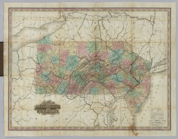
A Map Of The Canals & Rail Roads Of Pennsylvania And New Jersey And The Adjoining States. By H.S. Tanner. Published by H.S. Tanner, Philadelphia ... Entered ... 1839, by H.S. Tanner ... Pennsylvania. Engraved by H.S. Tanner & Assistants.
1840
Tanner, Henry S.
H.S. Tanner
68 × 51 cm
1 : 1140480