David Rumsey
ArcGIS, QGIS or web apps can simply use this map with web map services. WMTS, TileJSON or XYZ tiles are provided for quick access to processed maps.
Sign in to get links.
Sign in to download GeoTIFF.
Overlay & compare
iiif viewer, iiif info json
Website
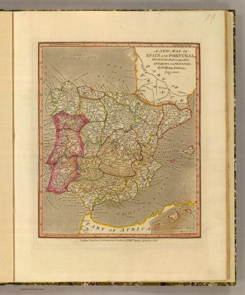
Spain, Portugal.
4767.019
pilot4
A new map of Spain and Portugal, divided into their respective kingdoms and provinces, by William Darton, Engraver. London, Printed and published Septr. 26, 1811, by Willm. Darton, 58 Holborn Hill.
1811
1813
Darton, William
William Darton
24 × 29 cm
1 : 4730000