David Rumsey
ArcGIS, QGIS or web apps can simply use this map with web map services. WMTS, TileJSON or XYZ tiles are provided for quick access to processed maps.
Sign in to get links.
Sign in to download GeoTIFF.
Overlay & compare
iiif viewer, iiif info json
Website
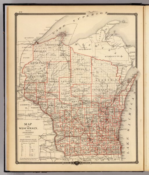
Map of Wisconsin, showing assembly districts.
0936.015
pilot4
Map of Wisconsin, showing assembly districts. Copyright 1877, by Snyder, Van Vechten & Co. (Published by Snyder, Van Vechten & Co., Milwaukee. 1878)
1878
Snyder, Van Vechten & Co.
34 × 42 cm
1 : 1520640