David Rumsey
ArcGIS, QGIS or web apps can simply use this map with web map services. WMTS, TileJSON or XYZ tiles are provided for quick access to processed maps.
Sign in to get links.
Sign in to download GeoTIFF.
Overlay & compare
iiif viewer, iiif info json
Website
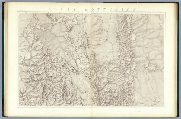
Rocky Mountains. (Topographical)
0408.009
pilot2
Rocky Mountains. Map I. (Topographical)
1876
King, Clarence
Julius Bien
105 × 69 cm
1 : 253440