David Rumsey
ArcGIS, QGIS or web apps can simply use this map with web map services. WMTS, TileJSON or XYZ tiles are provided for quick access to processed maps.
Sign in to get links.
Sign in to download GeoTIFF.
Overlay & compare
iiif viewer, iiif info json
Website
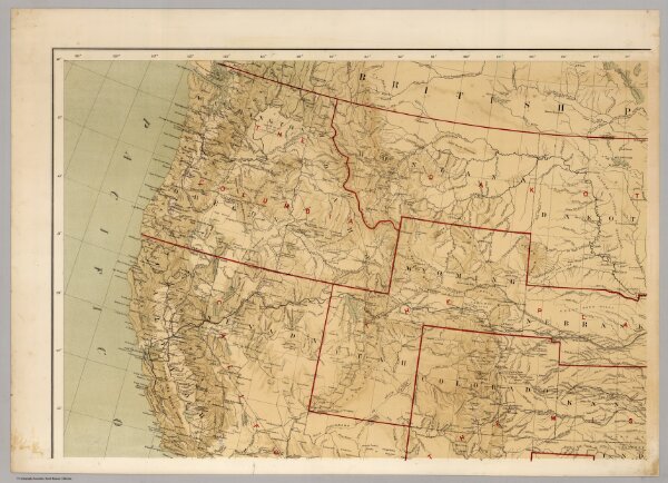
Military Map of the United States
3849.001
missinglocation
Office Of The Chief Of Engineers War Department Military Map of the United States compiled and drawn by E. Freyhold 1869. Engraved & printed by Julius Bien, N.Y. (inset map) Territory Of Alaska.
1869
Freyhold, Edward
Julius Bien
103 × 72 cm
1 : 5000000