David Rumsey
ArcGIS, QGIS or web apps can simply use this map with web map services. WMTS, TileJSON or XYZ tiles are provided for quick access to processed maps.
Sign in to get links.
Sign in to download GeoTIFF.
Overlay & compare
iiif viewer, iiif info json
Website
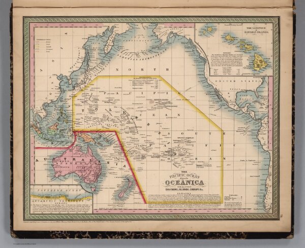
Pacific Ocean Including Oceanica
3803.077
missinglocation
The Pacific Ocean Including Oceanica, with its Several Divisions, Islands, Groups &c.. Entered ... 1850, by Thomas, Cowperthwait & Co. ... Pennsylvania. (with two inset maps) Antarctic Continent, and The Sandwich or Hawaiian Islands.
1853
Mitchell, Samuel Augustus
Thomas, Cowperthwait & Co.
40 × 32 cm
1 : 47000000