David Rumsey
ArcGIS, QGIS or web apps can simply use this map with web map services. WMTS, TileJSON or XYZ tiles are provided for quick access to processed maps.
Sign in to get links.
Sign in to download GeoTIFF.
Overlay & compare
iiif viewer, iiif info json
Website
Railway, statistical England, Wales.
5371.006
pilot4
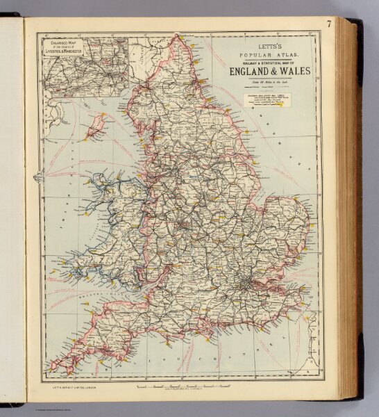
Railway & statistical map of England & Wales. Letts's popular atlas. (with) Enlarged map of the district of Liverpool & Manchester. Letts, Son & Co. Limited, London. (1883)
1883
Letts, Son & Co.
34 × 42 cm
1 : 1774080