David Rumsey
ArcGIS, QGIS or web apps can simply use this map with web map services. WMTS, TileJSON or XYZ tiles are provided for quick access to processed maps.
Sign in to get links.
Sign in to download GeoTIFF.
Overlay & compare
iiif viewer, iiif info json
Website
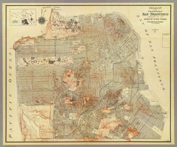
San Francisco.
5289.000
pilot3
Map of the city and county of San Francisco prepared by the Board of Public Works, M.M. O'Shaughnessy, City Engineer. A.L. Auradou, cartographer. Map issued October 15, 1927. Revised to Sept. 1, 1929.
1929
San Francisco (Calif.). Board of Public Works
Board of Public Works
84 × 69 cm
1 : 18000