David Rumsey
ArcGIS, QGIS or web apps can simply use this map with web map services. WMTS, TileJSON or XYZ tiles are provided for quick access to processed maps.
Sign in to get links.
Sign in to download GeoTIFF.
Overlay & compare
iiif viewer, iiif info json
Website
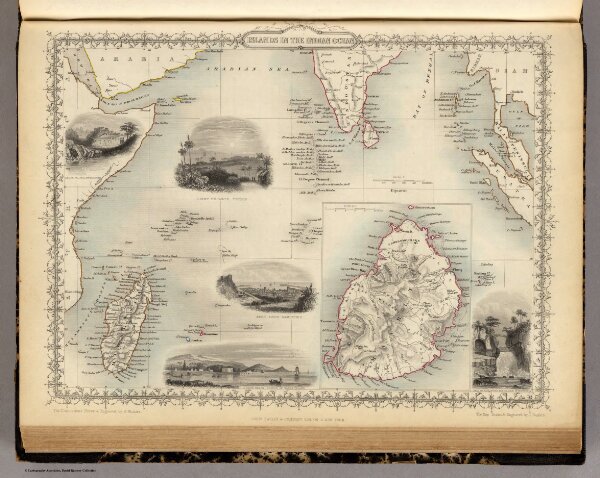
Islands In The Indian Ocean (with) inset map of Mauritius.
0466.049
pilot2
Islands In The Indian Ocean. (with) inset map of Mauritius. The Illustrations Drawn & Engraved by H. Winkles. The Map Drawn & Engraved by J. Rapkin.
1851
Tallis, J. & F.
J. & F. Tallis
34 × 27 cm
1 : 23760000