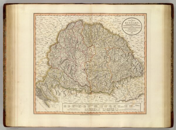
A new map of Hungary, with its divisions into gespanchafts or counties; the Principality of Transylvania, Croatia &c. from the latest authorities. By John Cary, engraver, 1799. London: Printed for J. Cary, Engraver & Map-seller, No. 181, Strand, Augst. 1st., 1799.