David Rumsey
ArcGIS, QGIS or web apps can simply use this map with web map services. WMTS, TileJSON or XYZ tiles are provided for quick access to processed maps.
Sign in to get links.
Sign in to download GeoTIFF.
Overlay & compare
iiif viewer, iiif info json
Website
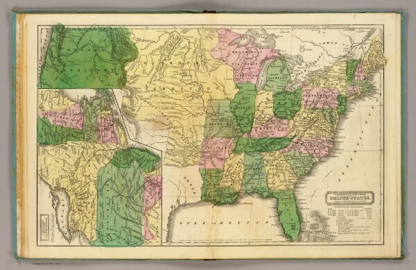
United States.
2573.007
pilot4
Geographical & statistical map of the United States. Adapted to Woodbridge's Geography. (with) Northern division of the United States. Entered ... 1831, by William C. Woodbridge ... Connecticut. (1837?)
1837
Woodbridge, William C.
Belknap & Hamersley
43 × 27 cm
1 : 10000000