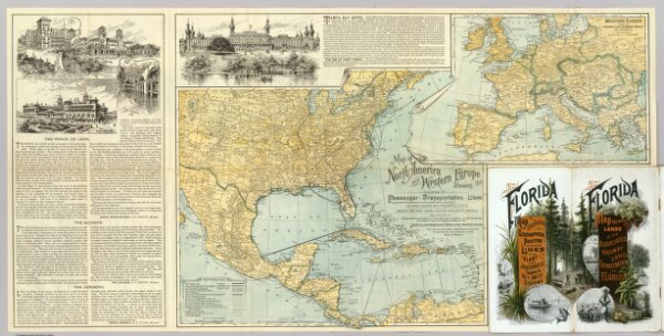
Map of North America and Western Europe showing the direct passenger transportation lines between Europe and the United States, Mexico, the West Indies, Central and South America, also illustrating the geographical position of Florida and location of the railroad, steamboat and steamship lines ... For commerce with other states and the countries south and east of the Gulf of Mexico. Copyright, 1889. Matthews, Northrup & Co. ... (inset map) Western Europe showing railways and steamship routes to America.
Depicted date
1890
Publication date
1890
Creator
Associated Railway Land Dept of Florida
Publisher
D.H. Elliott, General Land Agent, Associated Railway Land Department of Florida.