David Rumsey
ArcGIS, QGIS or web apps can simply use this map with web map services. WMTS, TileJSON or XYZ tiles are provided for quick access to processed maps.
Sign in to get links.
Sign in to download GeoTIFF.
Overlay & compare
iiif viewer, iiif info json
Website
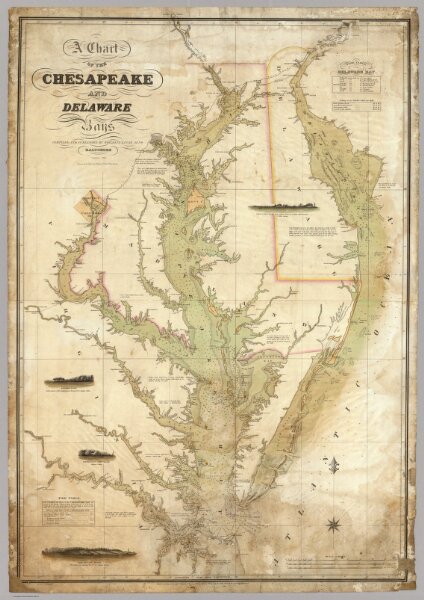
A Chart of the Chesapeake And Delaware Bays.
5436.000
pilot4
A Chart of the Chesapeake And Delaware Bays Compiled And Published By Fielding Lucas Junr. Baltimore Corrected_1840. Engraved by John and William Warr Philadelphia. Entered ... 1832 by Fielding Lucas Jr. ... Maryland.
1840
Lucas, Fielding Jr.
Fielding Lucas Jr.
72 × 104 cm
1 : 354816