David Rumsey
ArcGIS, QGIS or web apps can simply use this map with web map services. WMTS, TileJSON or XYZ tiles are provided for quick access to processed maps.
Sign in to get links.
Sign in to download GeoTIFF.
Overlay & compare
iiif viewer, iiif info json
Website
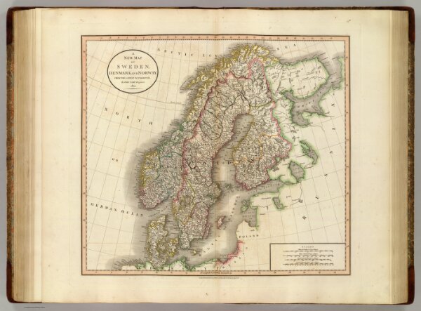
Sweden, Denmark and Norway.
1657.034
pilot4
A new map of Sweden, Denmark and Norway, from the latest authorities. By John Cary, engraver, 1801. London: Published by J. Cary, Engraver & Map-seller, No. 181, Strand, Augst. 1st., 1801.
1801
1808
Cary, John, ca. 1754-1835
John Cary
52 × 47 cm
1 : 4550000