David Rumsey
ArcGIS, QGIS or web apps can simply use this map with web map services. WMTS, TileJSON or XYZ tiles are provided for quick access to processed maps.
Sign in to get links.
Sign in to download GeoTIFF.
Overlay & compare
iiif viewer, iiif info json
Website
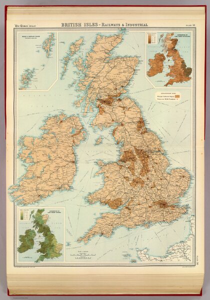
British Isles - railways & industrial.
2113.017
pilot4
British Isles - railways & industrial. (with) Distribution of land under cultivation. (with) Distribution of land under pasture. The Edinburgh Geographical Institute, John Bartholomew & Co. "The Times" atlas. (London: The Times, 1922)
1922
John Bartholomew & Co.
The Times
44 × 56 cm
1 : 2000000