David Rumsey
ArcGIS, QGIS or web apps can simply use this map with web map services. WMTS, TileJSON or XYZ tiles are provided for quick access to processed maps.
Sign in to get links.
Sign in to download GeoTIFF.
Overlay & compare
iiif viewer, iiif info json
Website
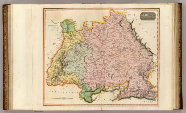
Germany S. of Mayne.
1007.030
pilot4
Germany south of the Mayne. Neele sc., London. Drawn & engraved for Thomson's New general atlas, 1816.
1816
1817
Thomson, John
John Thomson
60 × 51 cm
1 : 860000